
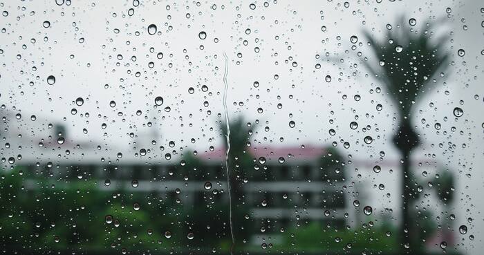
Keep the umbrella handy!
Showers and thunderstorms are developing southwest of Houston this Tuesday morning, and some of that rain is expected to move into the Houston area throughout the afternoon.
The good news? We’re not expecting severe weather. Instead, this will be another day of scattered showers, with a few pockets of heavier rainfall and an isolated rumble of thunder possible.

Rain moving in from the southwest will gradually spread northeast across Southeast Texas today.
Communities southwest of Houston, including Wharton, El Campo and Rosenberg, are among the areas that could see rain first. Showers may then reach parts of Sugar Land, Katy and the Houston metro area as we head into the afternoon.

Not everyone will see rain at the same time, and some neighborhoods may stay completely dry. Rainfall will be generally light, although occasional moderate downpours could reduce visibility on the roads, especially this afternoon.
Rain chances will continue into tonight, although there may be a temporary break in the showers during the evening.

Another round of rain is possible overnight into Wednesday morning, especially for communities along and south of Interstate 10.
Some may wake up to overnight thunderstorms in the middle of the night. Although they will not be severe they could bring lightning and thunder.

The rainfall should all be moving out around sunrise, which means conditions will improve for the Veterans Day parade.
For those on the coast it’s possible the showers could linger into the mid-morning hours, but for everybody we look to dry out into the afternoon.

If you take any photos or videos of the weather we’d love to see them, and you may be featured on air or online! Send us your photos at Click2Pins.


